Using a GPS receiver to get around in the backcountry is a skill most avid hikers take time to master. I learned on the fly, out of necessity rather than desire. Ten years ago, when one of my publishers asked that I include waypoints, tracks, and maps in my next book, I had to pony up the money for a pricey global positioning system device. If you’ve never used one, a handheld GPS is a gadget that receives data from 24 satellites that orbit earth. Then it translates that data into information about the receiver’s location. If a person carrying a GPS can pick up data from 3 satellites, they’ll know where they are on Earth’s surface. Four satellites, and they’ll get 3-dimensional information, such as their altitude, or elevation above sea level. You can see why a GPS is so valuable to backcountry travelers. Still, I wasn’t happy about this new demand on my wallet – or my time. A map and compass were cheap and easy to use. A GPS wasn’t cheap, and it wasn’t intuitive either.
After giving up on the complicated instructions, I hit the trail to learn on my own, pushing buttons and making a lot of mistakes until I finally figured it out. But like every self-taught skill, my knowledge was limited to “what I need to know to get the job done.” I knew how to use my GPS to get where I wanted to go and find my way back without getting lost. I also knew how to make and take waypoints, routes, and tracks, and turn all that data into topographical maps that a publisher could put in a book. But I didn’t use all the menus, and that bothered me. Every time I clicked through them, I’d think, “I wonder what this thing does?” Then I’d remember I was supposed to be working, not playing with my GPS, and I’d get back to hiking, writing, and map-making. But those mysterious menus beckoned, and I wanted to know what else I could do with my GPS.
Knowing I’d never take the time to learn it all on my own, after a decade of wondering about all those menus, I finally signed up for a field course with local retailer REI. And last week I packed up some water, snacks, sunscreen, and my GPS, and headed over to Cheyenne Mountain State Park for my first formal course, “Introduction to GPS Navigation Class – Level 1.”
Matt Hickethier, a senior instructor with REI, was waiting for me in the Limekiln parking lot. More students showed up: Steve, Stewart, Alexa, and Kelly. There were releases to sign, hand sanitizer to use, and disposable masks and nitrile gloves for anyone who hadn’t brought their own. After a short round of introductions, Matt, a former Marine with land navigation and orienteering experience far beyond Colorado’s mountains and parklands, gave us a crash course in GPS basics: how they work, what all those menus mean, and his recommended settings. He had us create waypoints manually and then follow them on a short cross-country hike. Then he explained the UTM (Universal Transverse Mercator) system, an alternative to the topographical maps created by the United States Geographical Survey (USGS) back in 1984. Instead of using a compass with the UTM map, we used a clear plastic grid reader. We made UTM route points, built a route, and went on another hike, following the route we’d created.
I could have gotten along for another decade with what I’d known, but all this new knowledge is going to save me a lot of time and could get me out of some unfortunate situations in the backcountry. I learned how to share routes and waypoints with other hikers wirelessly, whereas before, I’d been emailing them to people. I learned how to create a route, which is similar to what I had been doing, but instead of bringing up numbered waypoints one at a time to follow, the GPS route function brings them up automatically. I also learned how to manually enter and edit GPS latitude and longitude or UTM eastings and northings in the field, which will come in handy if I don’t upload them to my device from my computer ahead of time. I also learned how to take a screenshot of the device, instead of taking a picture of it with my camera, which I tend to do at every trailhead and summit. Finally, I learned that the GPS can help me find the most direct route along roads or trails, a feature I wouldn’t typically use, but that could come in handy if I ever got really lost.
REI has other courses on their roster and according to Matt, you can also get individualized classes for more in-depth instruction. I signed up for a couple more classes this year – map and compass navigation, which I’ve been doing for a couple of decades, and Wilderness First Aid, even though I was a certified EMT years ago and have taken this particular course twice before.
Ten years ago, I wasn’t eager to learn how to use a GPS receiver. My trusty map and compass had served me well for years. Last week, I was cynical about how much more there was to know about the technology. A four-hour field course was like a big slice of humble pie that will save me a lot of time on the trail. And a reminder that no matter how much I think I know, there’s always more to learn.
This blog first appeared as a column in the April 13, 2021 Gazette Woodmen Edition.
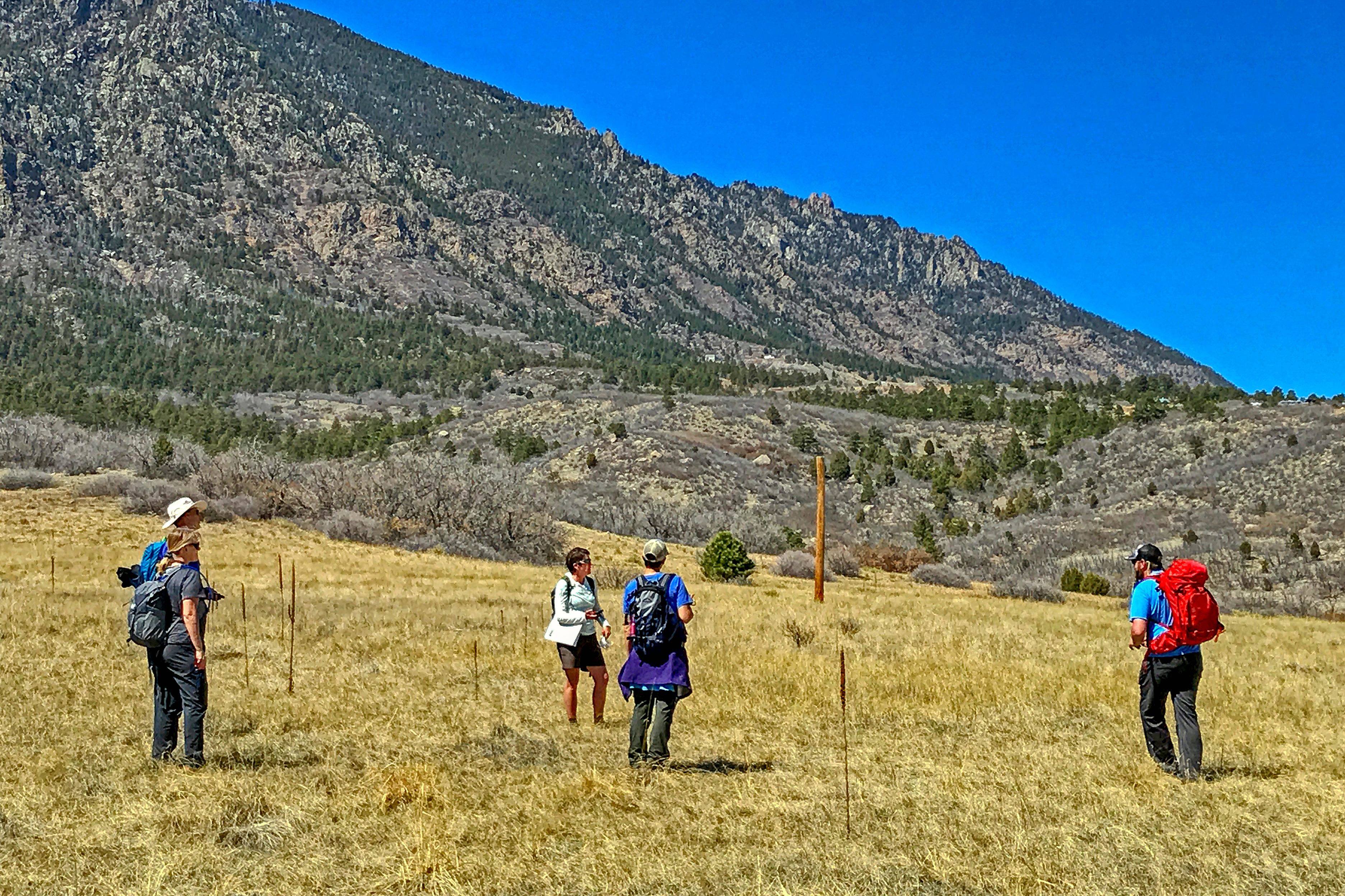
Columnist Susan Joy Paul joins students Steve, Kelly, and Alexa, and instructor Matt in a GPS field session at Cheyenne Mountain State Park. [Photo courtesy of Stewart M. Green]
