June is my favorite month for hiking to Colorado waterfalls. That’s when springtime snow, warmed in the sunshine, releases its bounty of crystal clear, liquid goodness. Shimmering cascades, horsetails, and cataracts tumble down mountainsides, pour over rocky ledges, and fling themselves off high cliffs. Even though snowpack is in short supply this year, you can still catch some lovely falls in the Pikes Peak region.
Your first stop should be North Cheyenne Cañon, where you can drive up North Cheyenne Canyon Road for about 2.5 miles to Helen Hunt Falls, formed by North Cheyenne Creek. From the base of the falls, take a short, steep hike up to Silver Cascade (Spoon) Falls, formed by Buffalo Creek. This is a busy area that can become quite congested, so slow down as you drive through and be on the lookout for pedestrians. Likewise, if you cross the road to the falls, be aware of vehicles from both directions.
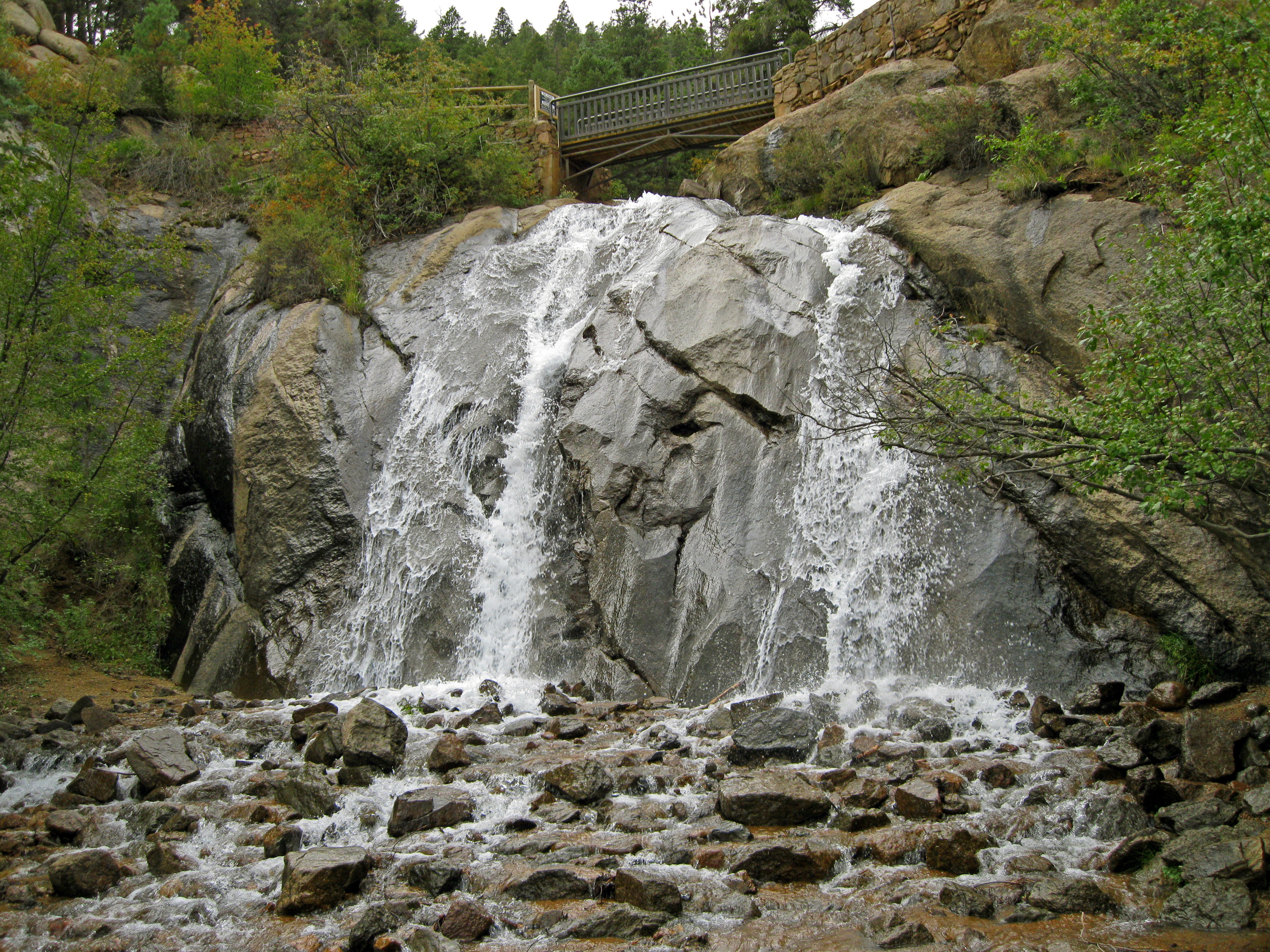
Helen Hunt Falls, North Cheyenne Cañon
Next, drive to the top of North Cheyenne Canyon Road and park in the big lot at the junction of High Drive and Gold Camp Road. From there, Undine Falls is a 3.4-mile out-and-back hike on the Seven Bridges Trail. Start at the northwest end of the parking lot and hike the old railroad bed (the section of Gold Camp Road that’s closed to vehicles) and cut off the trail at the sign for Trail #622 on the right. The falls are just past the seventh bridge.
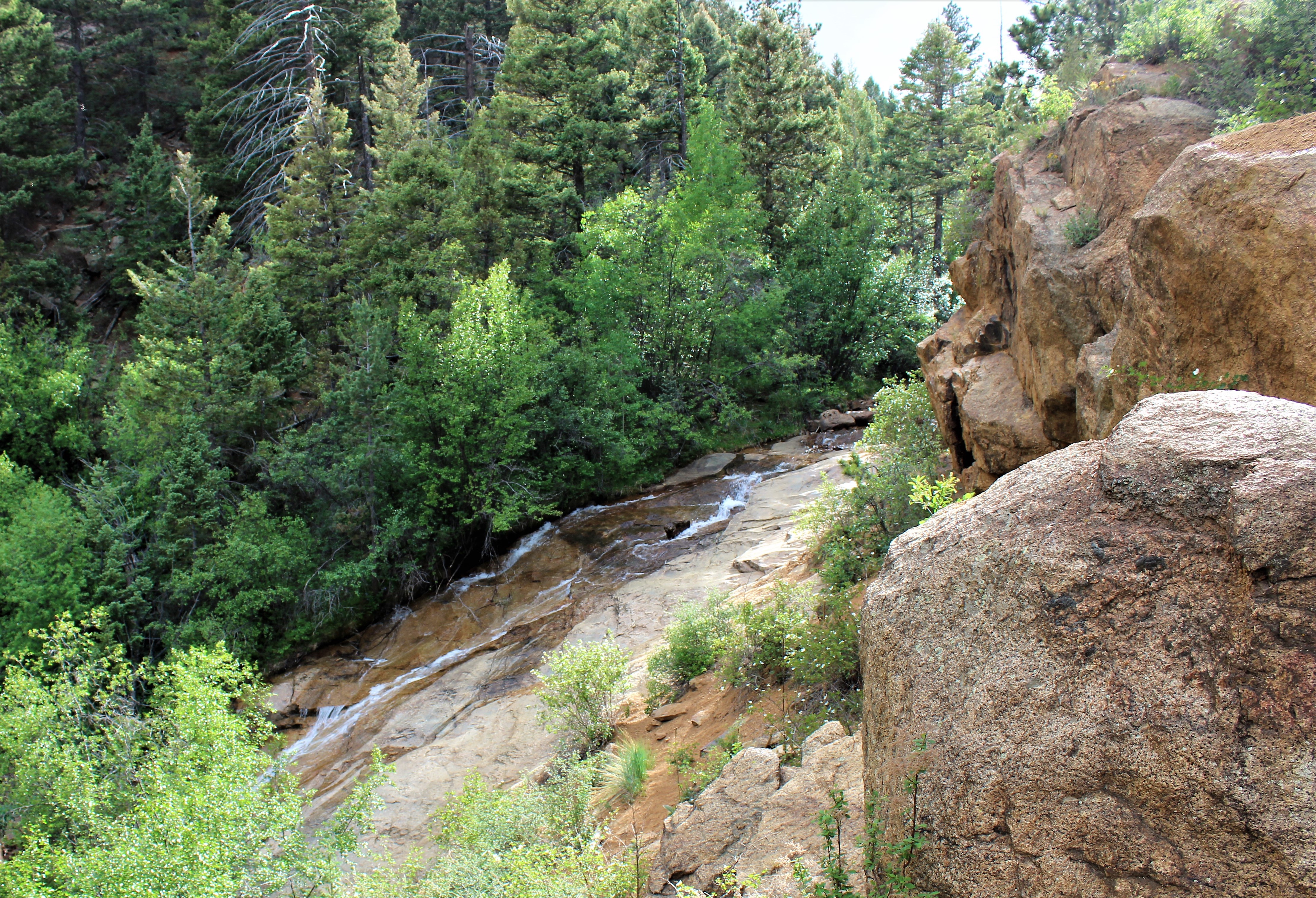
Undine Falls, North Cheyenne Cañon
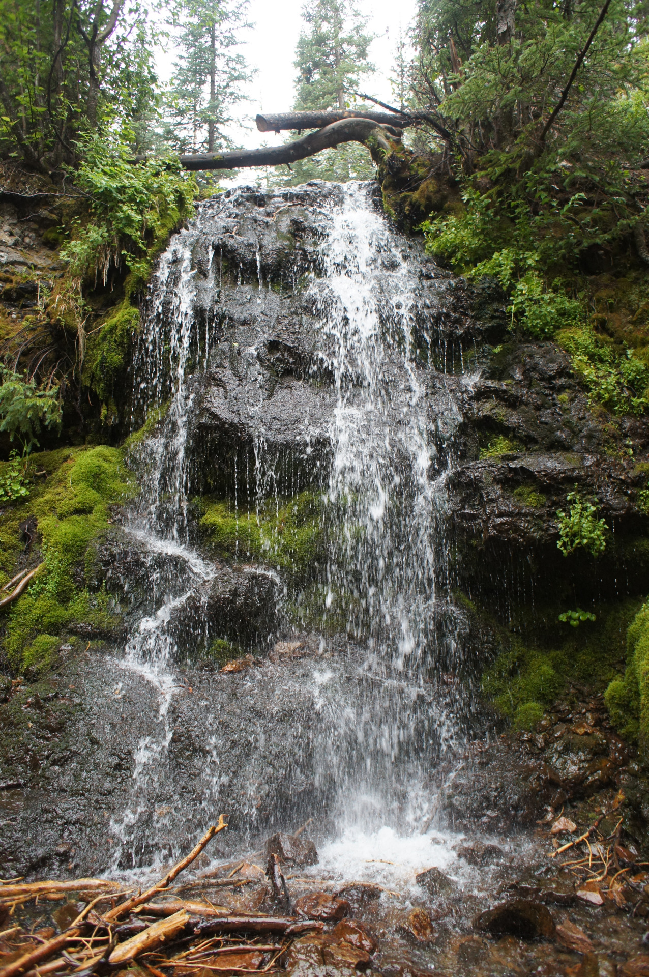
For a longer hike, bypass the cutoff to Trail #622 and continue on Gold Camp Road past the closed tunnel on the right, and look for the very old sign for Saint Mary’s Falls on Buffalo Creek. It’s a 6-mile out-and-back hike that gains quite a bit of elevation, so allow yourself plenty of time and watch for bikers zooming down the trail. They are supposed to afford hikers the right of way, but not all of them are aware of that fact, or they choose to ignore it. Keep your eyes open and if you see one coming, make your presence known. If there’s room, try to step off the trail to avoid a collision.
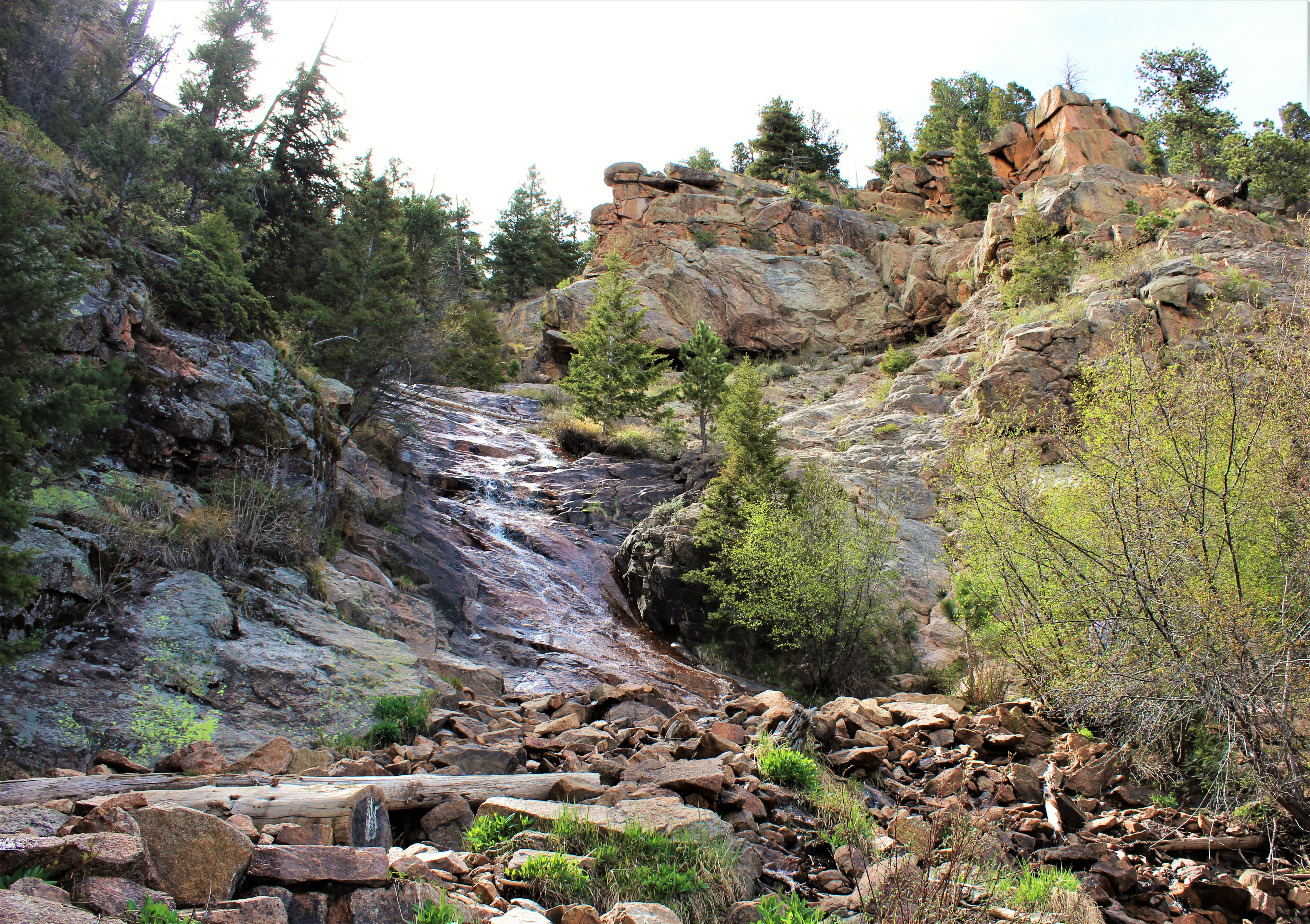
St Marys Falls, North Cheyenne Cañon
Josephine Falls, in nearby Bear Canyon, is no longer accessible due to the Bear Creek Watershed Restoration Project that closed the trail. A newer trail high above the canyon is the closest you’ll get, but not worth the hike if you’re just going to visit the falls, as they’re hidden far below the trail and a quarter of a mile away. Instead, drive back down North Cheyenne Canyon Road and park in the small lot at the Mount Cutler Trailhead. Hike about a mile up the trail and look to the south for unobstructed views of Seven Falls. Hang onto your kids and your pets on this trail, as there’s dramatic exposure and a tumble off the edge could be fatal.

Josephine Falls is no longer accessible due to the Bear Creek Watershed Restoration Project
Dorothy Falls and Williams Canyon Falls aren’t legally accessible right now, as the trails were closed for safety reasons after the September 2013 floods.

Dorothy Falls at Glen Eyrie has been closed to the public since the 2013 floods
Rainbow Falls is also closed, but the area is undergoing renovations and should be opening next month. This is one of the prettiest waterfalls in the area so put that one on your calendar and check the El Paso County Parks website for updates.

Rainbow Falls, Manitou Springs is scheduled to reopen in July after restoration is complete
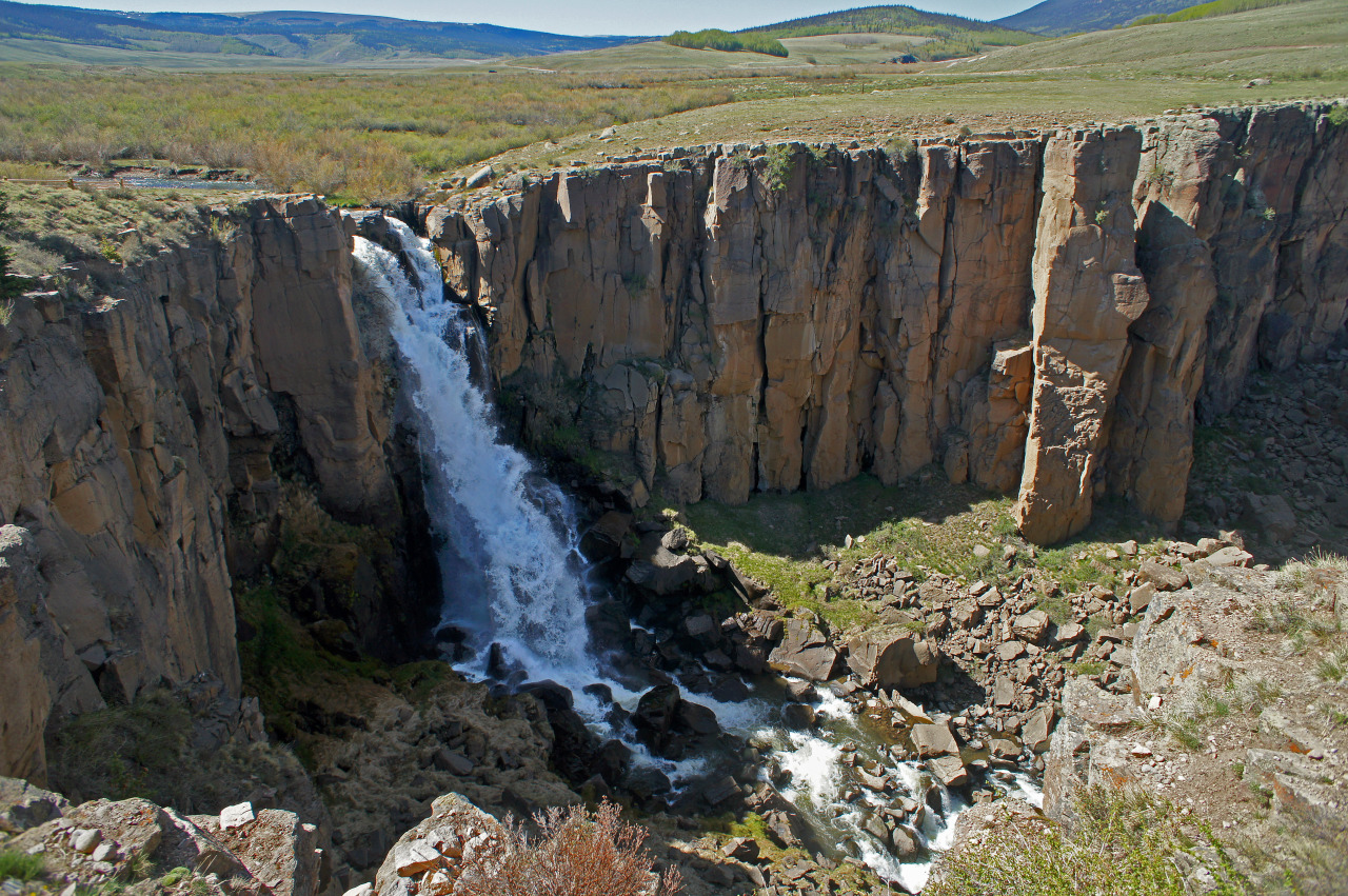
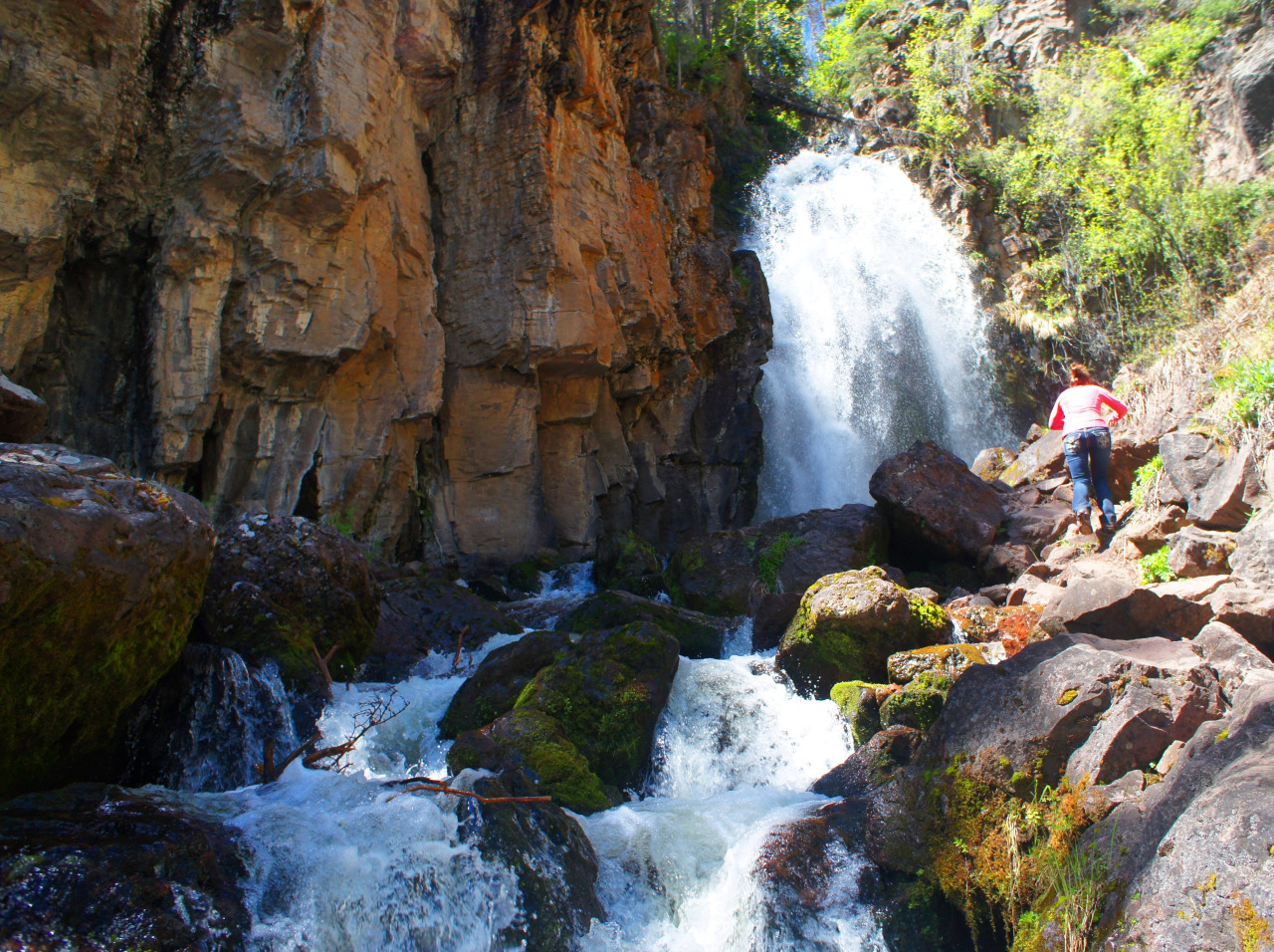
If you don’t mind a little driving, head west on Highway 24 to Green Mountain Falls, where you can hike the Thomas Trail to Crystal Falls and Catamount Falls. Then, check out Horsethief Falls in Teller County, and Guffey Falls and Tarryall Falls in Park County.
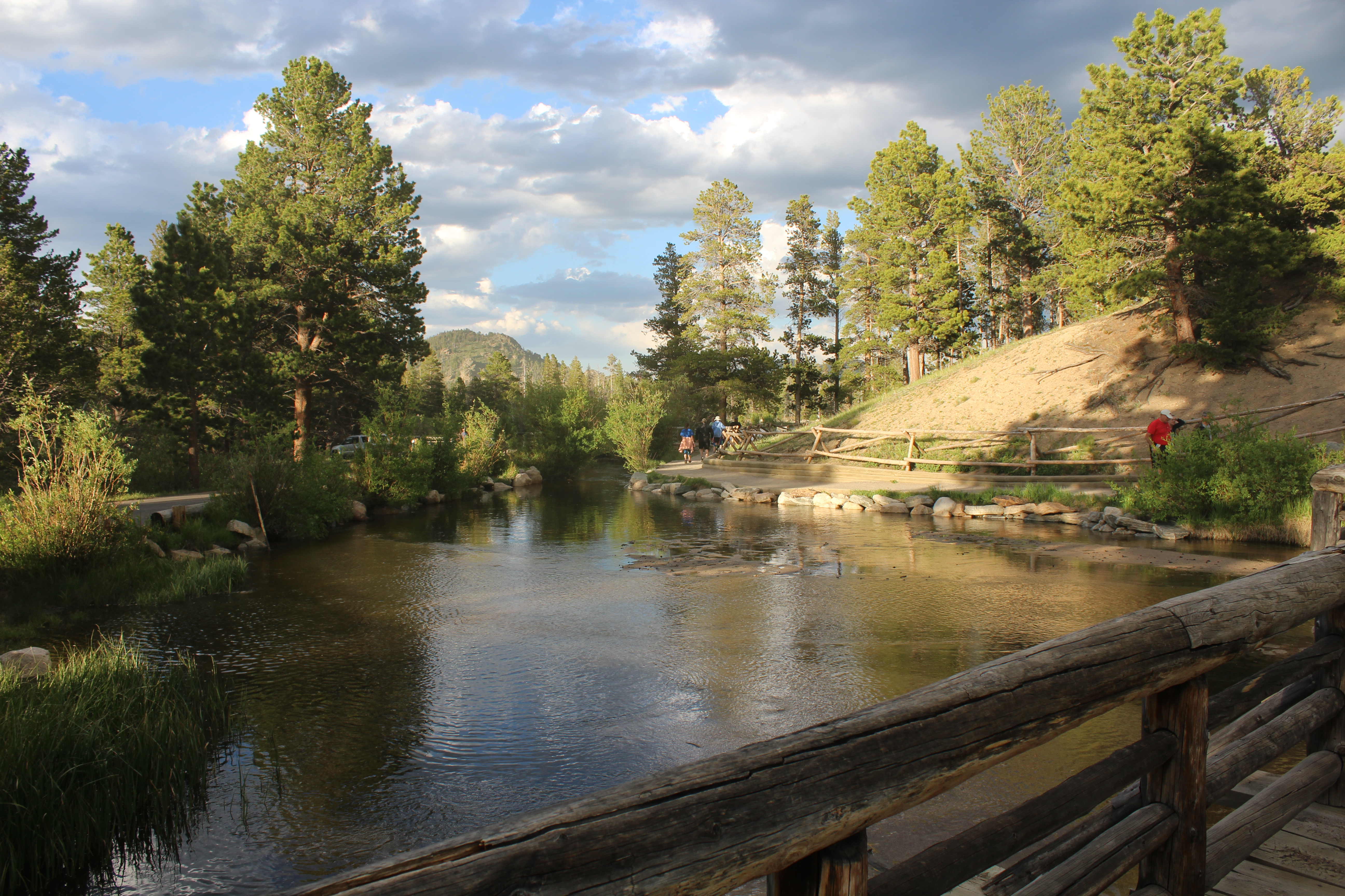
Want more falls? Keep driving – and hiking! According to the Worldwide Waterfall Database, there are 467 known waterfalls in Colorado. Once you get into the mountainous areas in Rocky Mountain National Park to the north; around Pagosa Springs, Telluride, and Ouray in the southwest part of the state; and in the canyons around Grand Junction to the west; they’re bigger, bolder, and even more dramatic.
As with all your outdoor adventures, leave nothing behind on your waterfalls hikes, and take nothing with you but some glorious photos and a smile. Your children and your children’s children will thank you for taking such great care of these lovely gems, Colorado’s waterfalls, so they can enjoy them for years to come.
For information on more than 100 waterfalls in the Pikes Peak region and across the state, check out my Falcon Guide Hiking Waterfalls in Colorado.
This blog first appeared as a column in the June 13, 2018, Woodmen Edition of the Gazette Community News.